alternatives to explore during the closure
The possibilities are endless! We’ve compiled a list of a few of our favorites.
Accessible by train AND CAR
via GARRISON STATION
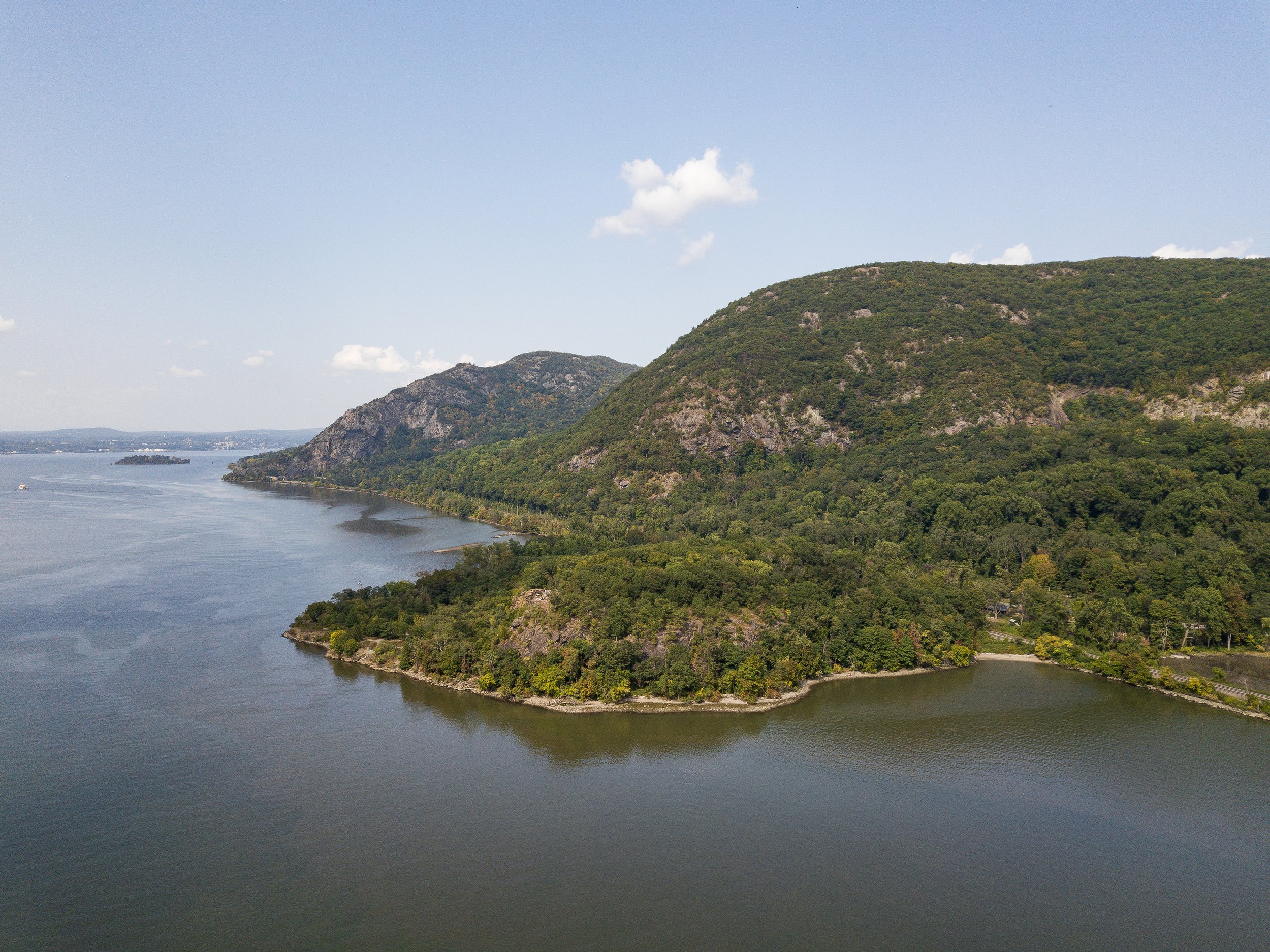
Castle Rock (Sugarloaf South)
steep, rugged, river views | 2.9 mi out & back (+ 2.4 mi roundtrip from train station) | 4/5 similarity to Breakneck | Limited parking
North Redoubt
steep, rugged, river views | 2.8 mi out & back (+ 2.6 mi roundtrip from train station) | 3/5 similarity to Breakneck | Limited parking
Arden Point
flat-ish, river views | 3.9 mi loop (access right from train station) | 2/5 similarity to Breakneck | Limited parking
via COLD SPRING STATION
Bull Hill from Washburn Lot
steep, rugged, river views | short loop (4.55 mi) and full loop (5.6 mi) + 2 mi roundtrip from train | 5/5 similarity to Breakneck | Limited parking**
Cornish Estate from Washburn Lot
uphill, river views | 1.8 mile out & back + 2 mi roundtrip from train | 2/5 similarity to Breakneck | Limited parking**
Little Stony Point
flat-ish, river views | 0.9 mile loop + 2 mile roundtrip from train | 2/5 similarity to Breakneck | Limited parking**
West Point Foundry Preserve
flat, river views | 1.9 mile loop (access trail directly from southern end of northbound Metro-North RR platform) | 2/5 similarity to Breakneck | Ample parking
*There is NO PARKING for trails on private property or school district property
*Note for train riders walking to trails: due to construction on Fair Street, you must use the pedestrian bypass path along the west side of the road. On the northern portion of Fair Street where there are no sidewalks, please keep to the road shoulder until you reach the Gateway Trail at Little Stony Point. Please use caution!
via BEACON STATION
Mt. Beacon
steep, rugged, river views | 4.7 miles out & back + 3.6 mile roundtrip from train | 5/5 similarity to Breakneck | Limited parking
Long Dock Park to Dennings Point and Madam Brett Park
flat, river views | LDP to Dennings: 3.25 mile out & back, LDP to MBP: 3.76 mile out & back, + .6 mile RT from train | 1/5 similarity to Breakneck | Ample parking
Accessible by Car only
Storm King
steep, rugged, river views | 1.5 mile, 2.5 mile, and 3.6 mile loop | 5/5 similarity to Breakneck | Limited parking
Bear Mountain via Major Welch and Appalachian Trail
steep, rugged, river views | 4.3 mile loop | 5/5 similarity to Breakneck | Paid parking (check timing)
Bonticou Crag - Mohonk Preserve
steep, rugged, scramble, exposed rock, views | 2.3 mi, 3.9 mi, and 5.6 mi options | 5/5 similarity to Breakneck | Limited, day fee charged for non-members
Anthony's Nose
steep, rugged, river views | 2.0 mile, 2.4 mile, and 6.4 mile out & back | 5/5 similarity to Breakneck | VERY limited parking
Anthony Wayne Recreation Area: Beechy Bottom, West Mountain, AT-Timp-Torne to Appalachian Trail Loop
exposed rock, woods roads, river views | 3.95 mile loop | 4/5 similarity to Breakneck | Large parking supply
Schunnemunk Mountain
steep, rugged | 7.4 mile loop | 4/5 similarity to Breakneck | Limited parking
Dunderberg, Bald Mountain, and The Timp Loop
steep, rugged, river views | 7.4 mile loop | 4/5 similarity to Breakneck | Limited parking
Torrey Memorial at Long Mountain
steep, rugged, river views | 2.2 mile loop | 3/5 similarity to Breakneck | Limited parking
AT via Fahnestock / Canopus
steep, rugged, lake view | 5.2 mile and 7.8 mile loop | 3/5 similarity to Breakneck | Limited parking
Snake Hill via Crystal Lake
gradual to moderate inclines, river views | 2.9 mile out and back | 2/5 similarity to Breakneck | Limited parking
Hubbard Perkins Loop
flat-ish, wooded views | 3.9 mile loop | 2/5 similarity to Breakneck | Limited parking
Want more hike info?
Visit the New York-New Jersey Trail Conference’s website for hike info, trail maps, and more!

Want even more curated hike info? Check out Dutchess Tourism’s free mobile passport: the Zen Finder.
